Images of the Champlain Sea
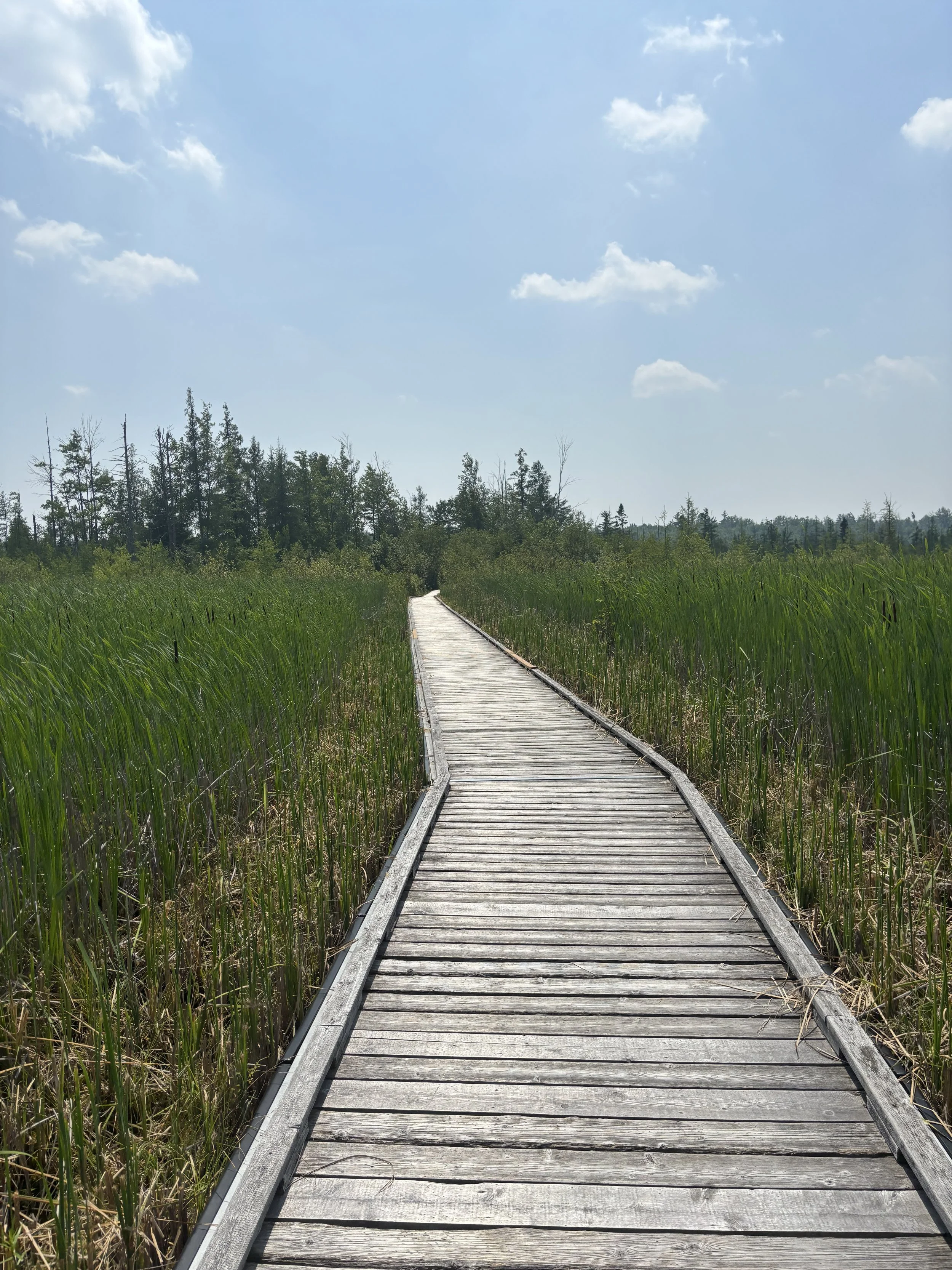
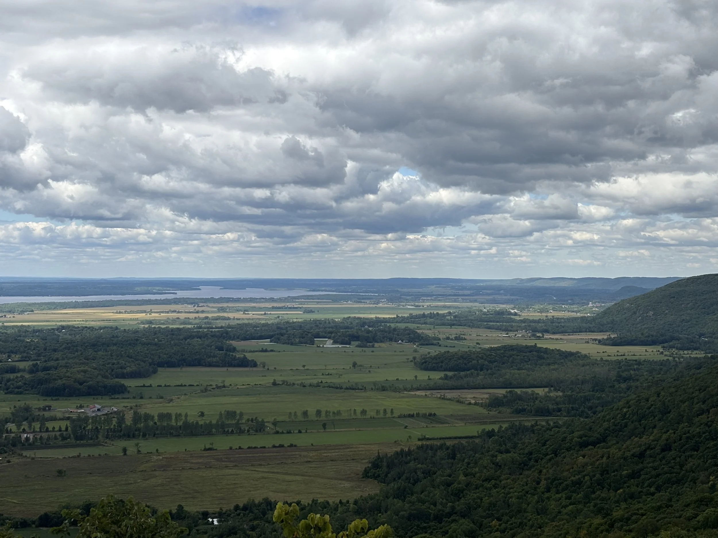
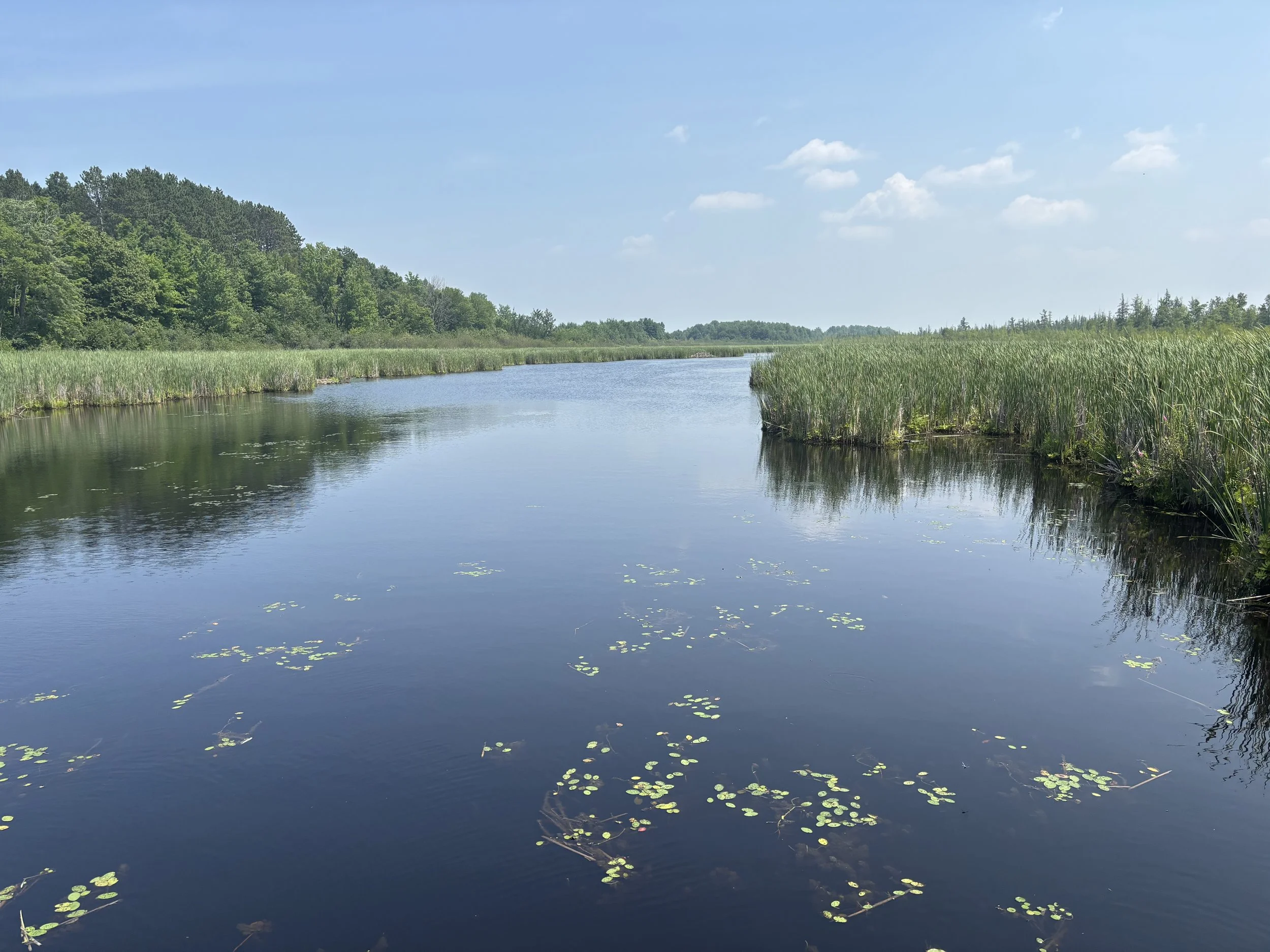
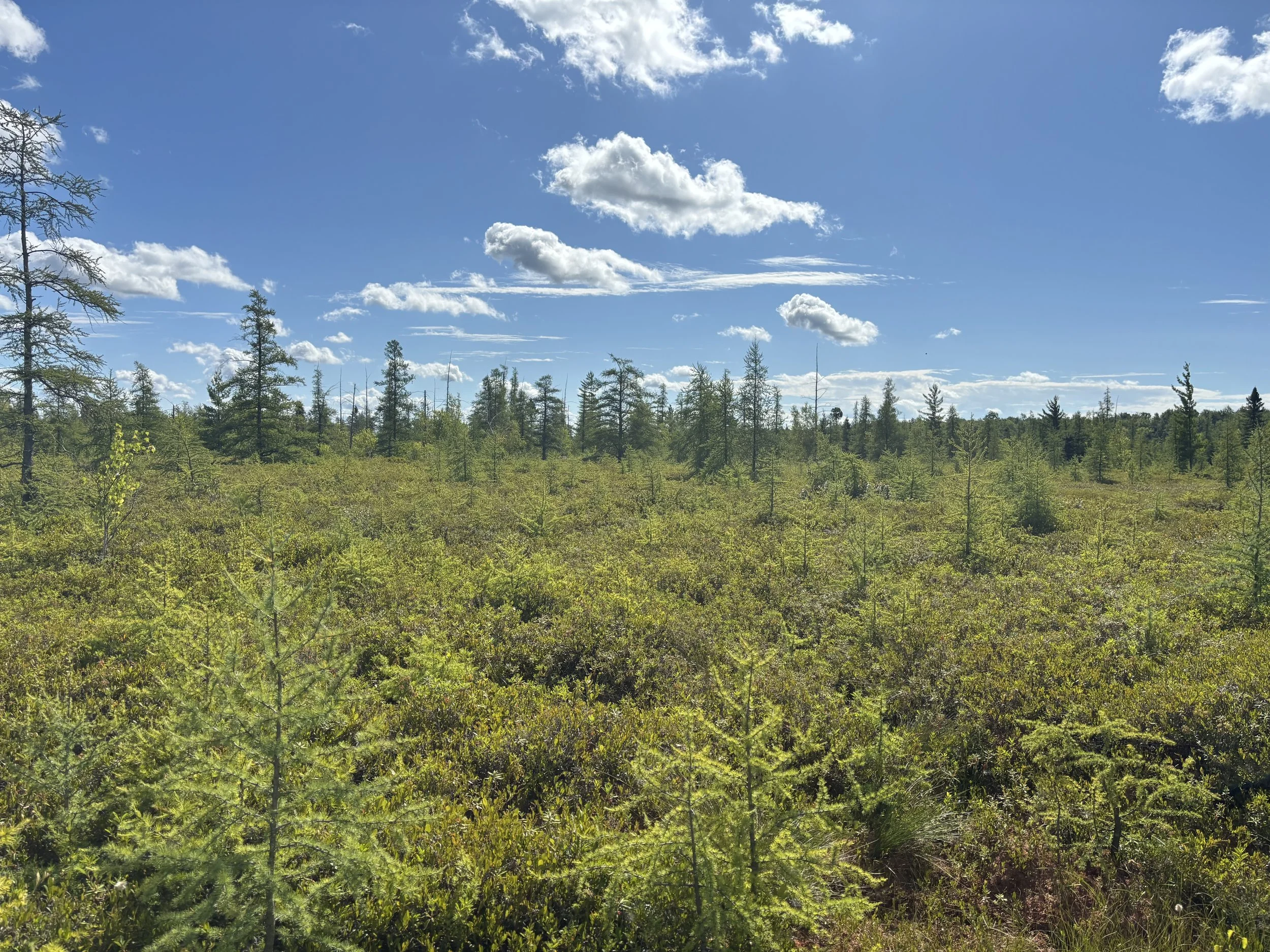
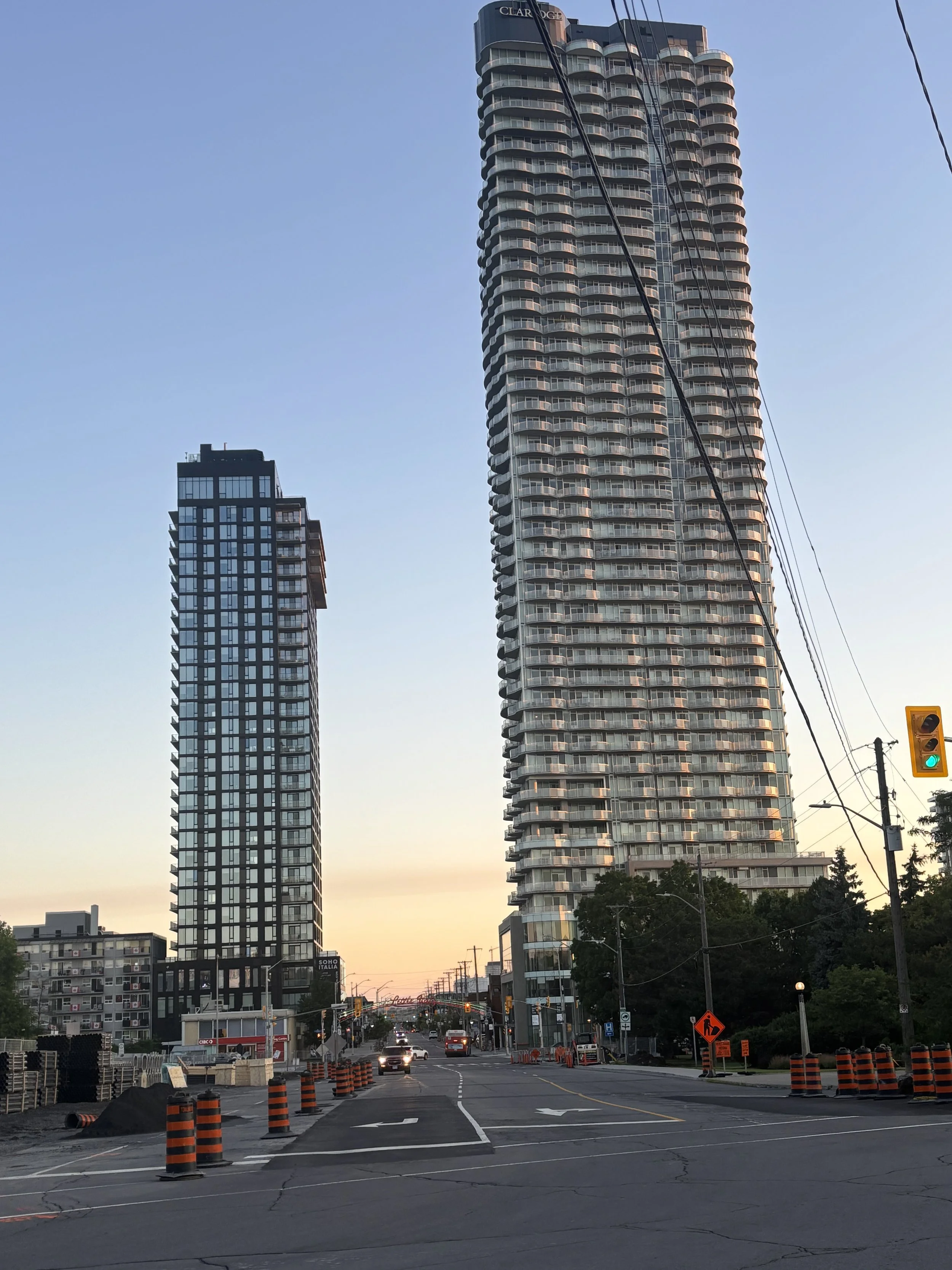
The Champlain Sea dried up 8,000 years ago, so we can only see echos of it today. Here you can sea some images from the Mer Bleu Bog south-east of the city. The Brackish water allows for shrubs and grasses to grow, but large trees can only grow away from the peaty soil. You can also see the Claridge Icon Building at Dow’s Lake overviewing Preston Street. At the time of the Champlain Sea, the surface was 150 metres above the surface of the ground. The Claridge Icon is 143 metres, meaning the tallest building in Ottawa would still be underwater. You can imagine whales swimming above and around the sky-scraper. You can also see an image of the Ottawa River in the background from the Champlain Lookout, with the river in the background, the hills on the right, and what would have been the riverbed of the valley which is now shared by forests and farms.
Links of Interest
Canadian Geoscience Education Network
Jenkins, Phil. (1996). An Acre in Time. Macfarlane Walter & Ross. Toronto.